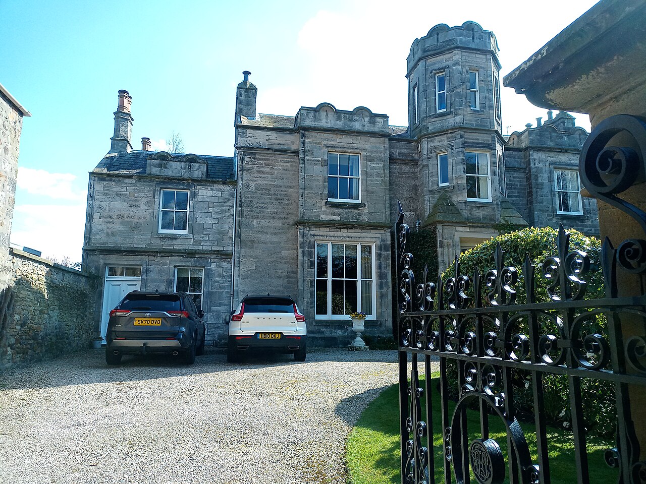
In brief
The Lodge is a prominent mid-nineteenth-century house whose later additions produce a picturesque, turreted silhouette on Aberlady’s High Street. Stables and gates make it a small domestic ensemble rather than a façade alone.


Quick facts
- National designation
- Category B listed building, LB4348
- Grid reference
- NT 46274 79830
- Main phase
- Mid-nineteenth century
- Later change
- Late-nineteenth- and early-twentieth-century additions
Growth by addition
HES describes a mid-nineteenth-century core enlarged in later phases. The tower-like elements, varied roofline and ancillary buildings show how a substantial village house could accumulate architectural emphasis over time.
The listing records an association with the Punton family. That is historical context, not evidence for an architect, current owner or present access arrangement, and none is inferred here.
Sources
- Historic Environment Scotland — LB4348 — Current Category B listing, architectural description, additions, stables, gates and historical association.
Explore the Place
Read the wider landscape and settlement story on the Aberlady Place page.
Location
OS grid reference NT 46274 79830 · Location confidence: High — coordinates derived from the current HES designation map reference · Select the marker to open its satellite view in Google Maps. On desktop, drag Pegman (the yellow figure) onto a blue road. On mobile, turn on the Street View layer and tap a blue road. Other photo markers may be user-contributed.
Suggest a marker correction
Suggest a more accurate position
The teal marker is the current published position. The orange marker starts slightly to its right so both remain visible; this is only a visual starting position. Tap the correct place on the map or drag the orange marker. Sending this form creates a private review entry only; it does not move the published marker.
Check this area in Google Maps Choose the Satellite layer there if useful.
Map: © OpenStreetMap contributors. You can also enter checked coordinates below.