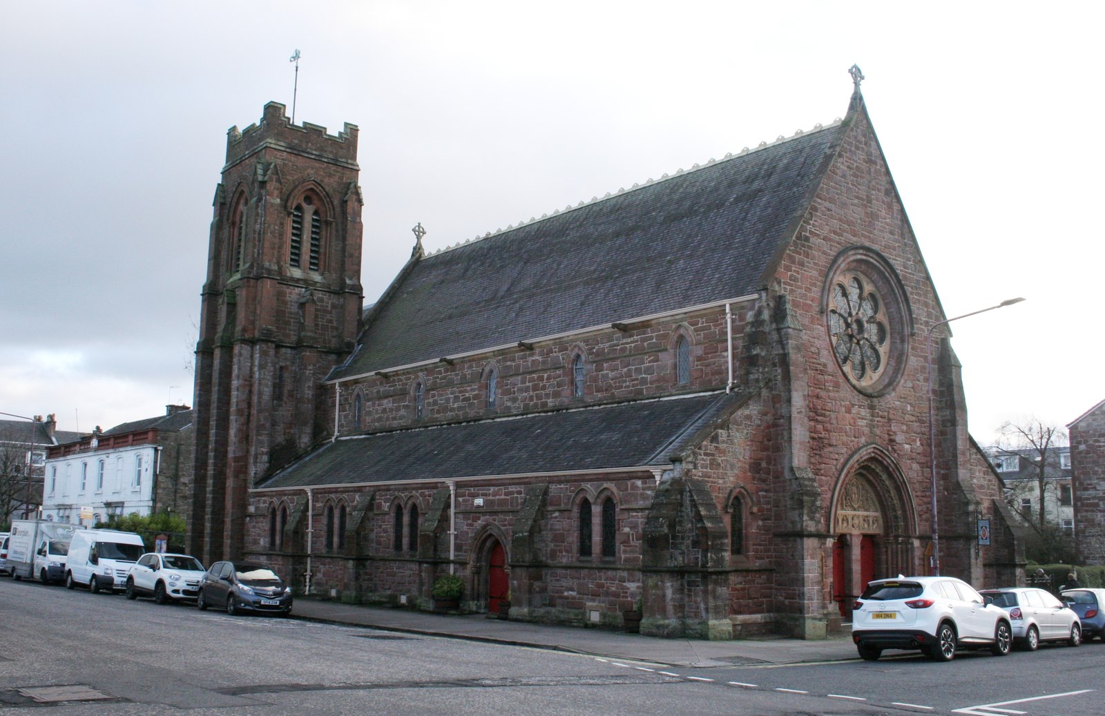
Red sandstone and pale carved details frame a church whose decoration accumulated over decades.
Quick facts
- Date
- 1866–68; hall 1912; tower 1930
- Architect / designer
- Robert Rowand Anderson
- Type
- Episcopal church and hall
- OS grid reference
- NS 29242 82502
The building and its setting
A rose window rises above the carved entrance, with aisles flanking the taller nave. Contrasting pale stone highlights selected details. Inside, the listed account describes screens, stained glass and furnishings added through successive phases rather than one unchanged original scheme.
Its story
The present church was completed in 1868, replacing an earlier building on the site. The congregation’s history dates the hall to 1912 and the tower to 1930, with later additions including the 1958 chapel. Its account complements the architectural listing and confirms continuing parish life.
Why it is included
Shows a major church design completed and enriched over several generations.
What to look for
- The rose window and carved entrance
- The later tower in relation to the earlier nave
Reading the surroundings
Use public streets or signed park routes. Respect private premises and check venue or parish arrangements before entering.
What we know — and what remains uncertain
The rectory is separately listed and is not treated as another record within this church entry. Interior access depends on parish arrangements; surviving detail is described from sources rather than a fresh inspection.
Sources & further reading
- Historic Environment Scotland: LB34896 — Designation, grid location and architectural development; historical observations are not a fresh condition survey.
- St Michael and All Angels: parish history — Confirms the church, hall and tower chronology and later additions.
Location
OS grid reference NS 29242 82502 · Location confidence: HES national-grid point converted to WGS84; approximate location, not an entrance or statutory boundary. · Select the marker to open its satellite view in Google Maps. On desktop, drag Pegman (the yellow figure) onto a blue road. On mobile, turn on the Street View layer and tap a blue road. Other photo markers may be user-contributed.
Suggest a marker correction
Suggest a more accurate position
The teal marker is the current published position. The orange marker starts slightly to its right so both remain visible; this is only a visual starting position. Tap the correct place on the map or drag the orange marker. Sending this form creates a private review entry only; it does not move the published marker.
Check this area in Google Maps Choose the Satellite layer there if useful.
Map: © OpenStreetMap contributors. You can also enter checked coordinates below.
St Michael and All Angels Church, Helensburgh. Photograph: Richard Sutcliffe, 29 December 2018. CC BY-SA 2.0.
