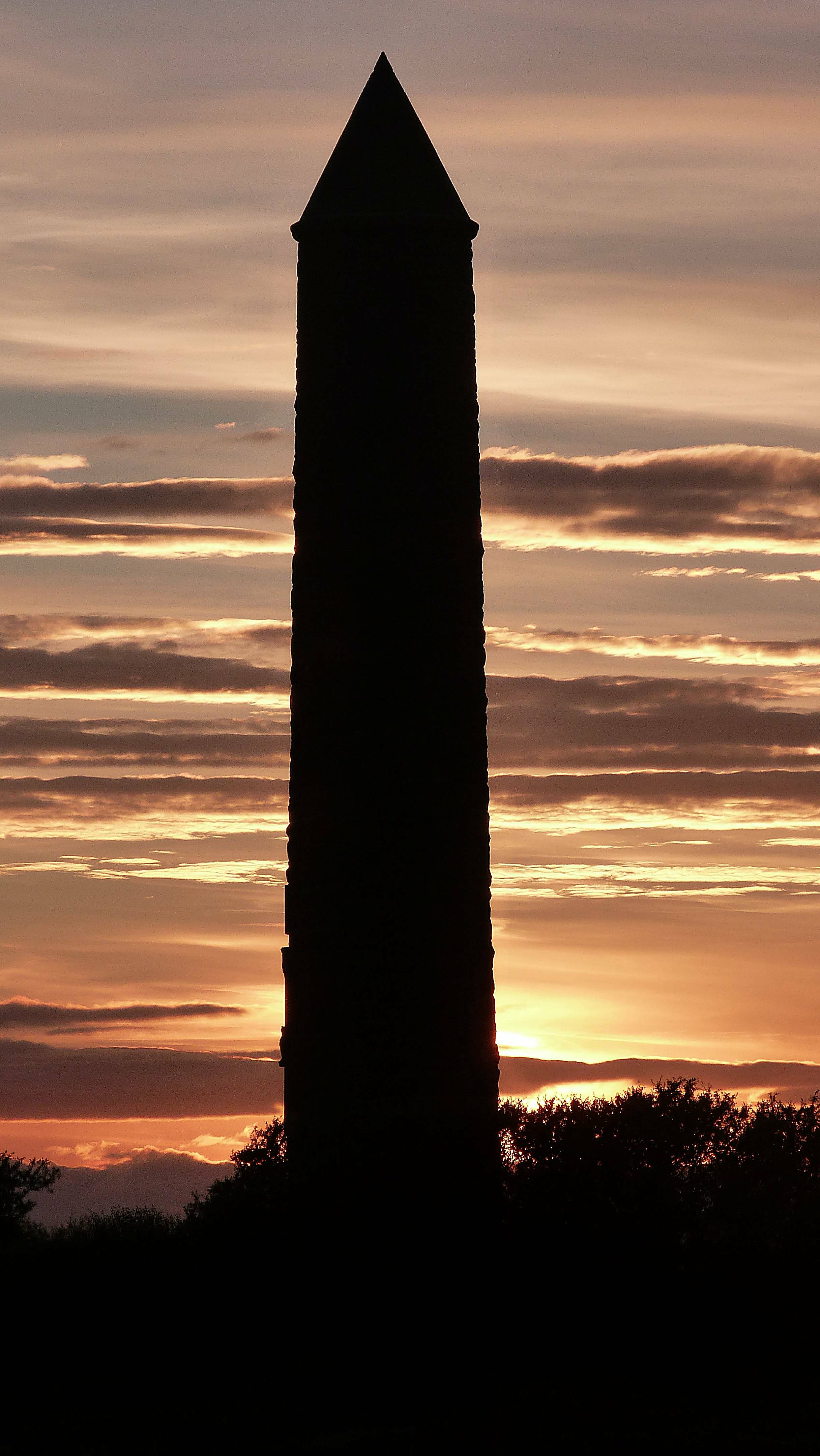


A twentieth-century tower uses an older architectural language to commemorate the battle of 1263.
Quick facts
- Date
- 1912
- Architect / designer
- J Sandyford Kay
- Type
- Commemorative tower
- OS grid reference
- NS 20762 57679
The building and its setting
The round tower narrows slightly as it rises towards its conical roof. Rough dark stone contrasts with dressed surrounds at the raised doorway, where carved figures and animals concentrate the detail. Its shoreline setting makes it a marker in long coastal views.
Its story
The monument was erected in 1912. HES identifies the medieval towers of Brechin and Abernethy as its models. The North Ayrshire heritage trail records the council’s acquisition of the approach and surrounding ground in 1949, followed by landscaping and stone seating.
Why it is included
Distinguishes modern commemoration from medieval history.
What to look for
- The raised doorway and carved surrounds
- The contrast between rough walling and dressed stone
Reading the surroundings
Use the public coastal approach and take account of weather and uneven surfaces. Do not climb the structure or assume interior access.
What we know — and what remains uncertain
This is a commemorative structure, not surviving fabric from the battle. Its position should not be read as proof of the precise location of the fighting.
Sources & further reading
- Historic Environment Scotland: LB37177 — Designation, location and architectural description; older observations are not a current condition survey.
- North Ayrshire Heritage Trails: Largs — Later public approach and landscape history; its interpretation of the tower form differs from HES.
Location
OS grid reference NS 20762 57679 · Location confidence: HES national-grid point converted to WGS84; approximate building location, not an entrance or statutory boundary. · Select the marker to open its satellite view in Google Maps. On desktop, drag Pegman (the yellow figure) onto a blue road. On mobile, turn on the Street View layer and tap a blue road. Other photo markers may be user-contributed.
Suggest a marker correction
Suggest a more accurate position
The teal marker is the current published position. The orange marker starts slightly to its right so both remain visible; this is only a visual starting position. Tap the correct place on the map or drag the orange marker. Sending this form creates a private review entry only; it does not move the published marker.
Check this area in Google Maps Choose the Satellite layer there if useful.
Map: © OpenStreetMap contributors. You can also enter checked coordinates below.