
.jpg)
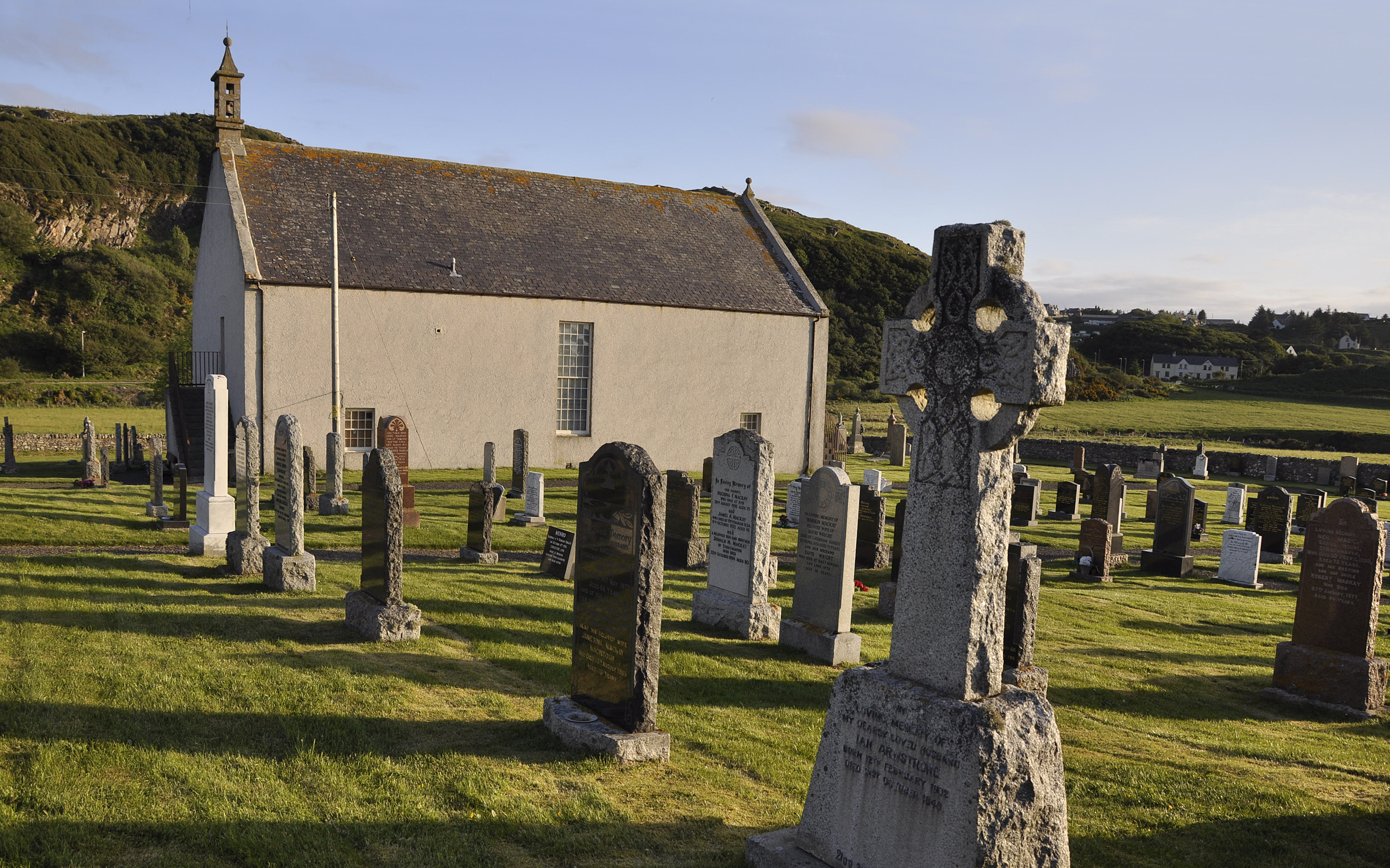
A tall harled church adapted to preserve and interpret the history of its community.
Quick facts
- Date
- 1774; interior altered 1882; museum from 1976
- Architect / designer
- Original architect not established
- Type
- Former parish church
- OS grid reference
- NC 71447 62254
The structure
The rectangular building has long windows and an east bellcote. External stairs served upper gallery doors at the gable ends. The elaborate hexagonal pulpit includes a sounding board above the preacher’s position.
Its story
Built in 1774, the church was altered in 1882 when galleries were removed and partitions reduced the worship space. It became a museum in 1976. The museum now interprets the Highland Clearances, Clan Mackay and local social history.
Why it is included
The building is both a surviving place of worship and a setting in which the community examines its past.
What to look for
- Tall windows and the gable bellcote
- The pulpit’s panels and overhead sounding board
Reading the surroundings
The burial ground contains older memorials and the separately scheduled Farr Stone, SM1889.
Timeline
- 1774 Present church built.
- 1882 Interior reduced and galleries removed.
- 1976 Museum use began.
What we know — and what remains uncertain
The present building is eighteenth-century. Evidence for earlier ecclesiastical activity at the site does not make its surviving walls medieval.
Sources & further reading
- HES: Farr Old Church, LB7156 — Fabric, alterations and explanation of the pulpit initials.
- Strathnaver Museum: building history — Building history and museum use from 1976.
- Strathnaver Museum: Visit Us — Current museum use and visitor arrangements.
Location
OS grid reference NC 71447 62254 · Location confidence: High: HES National Grid reference converted to WGS84; catalogue point, not an entrance. · Select the marker to open its satellite view in Google Maps. On desktop, drag Pegman (the yellow figure) onto a blue road. On mobile, turn on the Street View layer and tap a blue road. Other photo markers may be user-contributed.
Suggest a marker correction
Suggest a more accurate position
The teal marker is the current published position. The orange marker starts slightly to its right so both remain visible; this is only a visual starting position. Tap the correct place on the map or drag the orange marker. Sending this form creates a private review entry only; it does not move the published marker.
Check this area in Google Maps Choose the Satellite layer there if useful.
Map: © OpenStreetMap contributors. You can also enter checked coordinates below.